
SolutionsConstruction
Construction

The challenge
A live construction site changes every day, and it needs to be tracked and mapped in detail. Even though tracking technology has evolved over the years, there's room for massive automation with robotics. Currently, superintendents spend one to two hours walking it with a phone camera, infrequently, without a high degree of rigor. Even slightly messy work can lead to grand mistakes, and with increasing wages, it raises the question of whether this is a task a human should be doing.
Book a site surveyWhat we automate
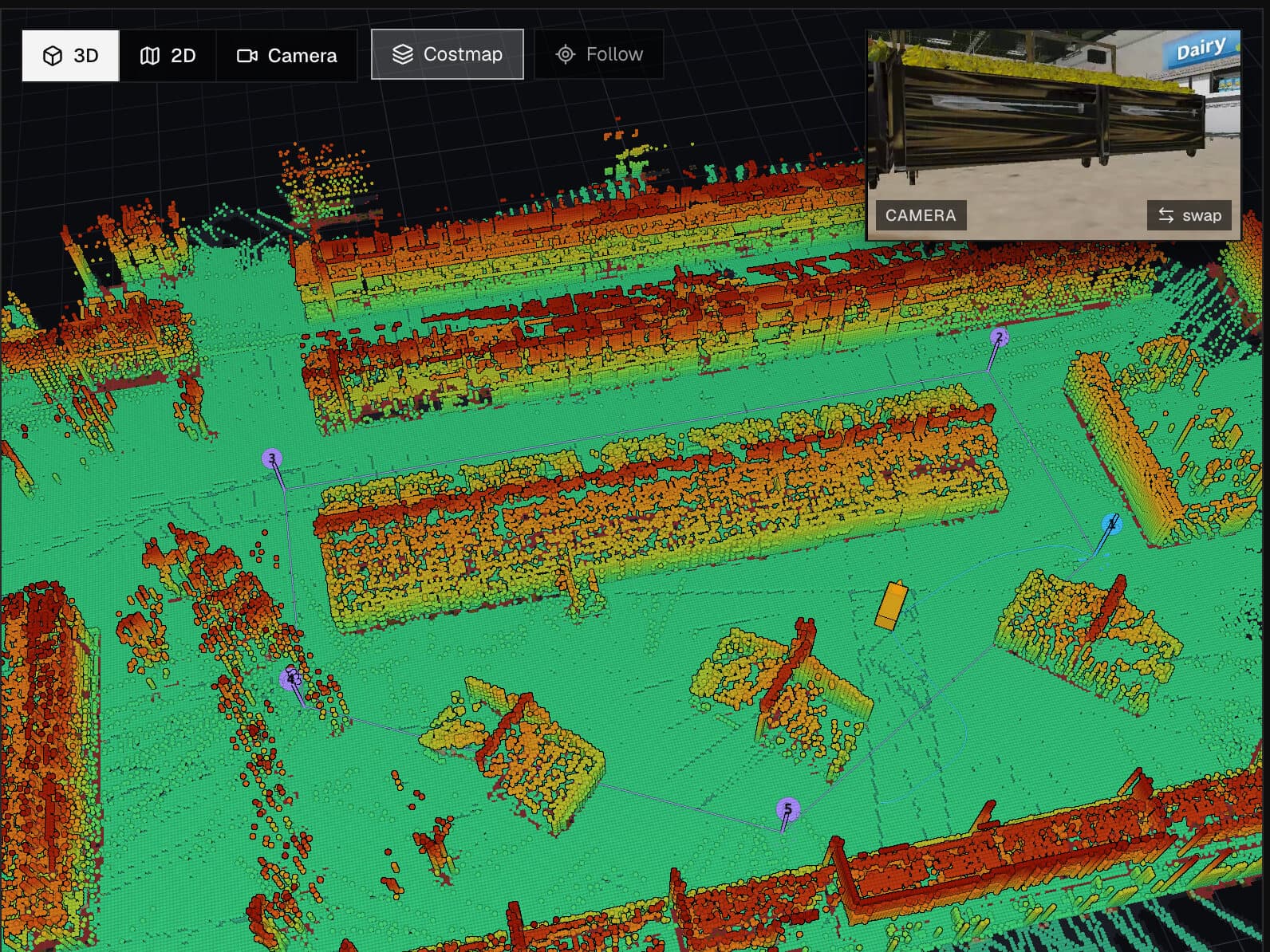
1. Progress capture
The same route and the same stations, every day. Each capture is pinned to a location on the site plan, so a trade's progress is compared day over day.

2. Equipment and asset tagging
Equipment, materials, and tools on site are identified and located on each walk, so your team knows what is where without a manual count. Items that moved or left the site are flagged.

3. Safety checks
Open edges, missing guardrails, blocked egress, and housekeeping issues are detected on the route and reported with a photo and a location.
360° capture
Each station on a walk is captured as a 16K panorama with metric depth at every pixel and a point cloud from the same frame. Distances in the scene can be measured from it.

- Resolution
- 16,384 × 8,192
- Depth coverage
- 99.99% of pixels
- Range, 1st to 99th percentile
- 2.0–17.7 m
- Point cloud
- 16.1M points
- Camera height
- 1.52 m, leveled
Before and after
Return on investment
- More efficient walk hours
- Run more walks, faster, and with lower costs.
- Lost and misplaced assets
- Hours spent locating equipment and materials, and items written off as lost.
- Safety findings
- Hazards flagged per walk that were not already logged, and hours from flag to fix.
Targets for each metric are set with you before the pilot and reported against during the 30–90 days. We do not publish averages across sites yet.
Platform
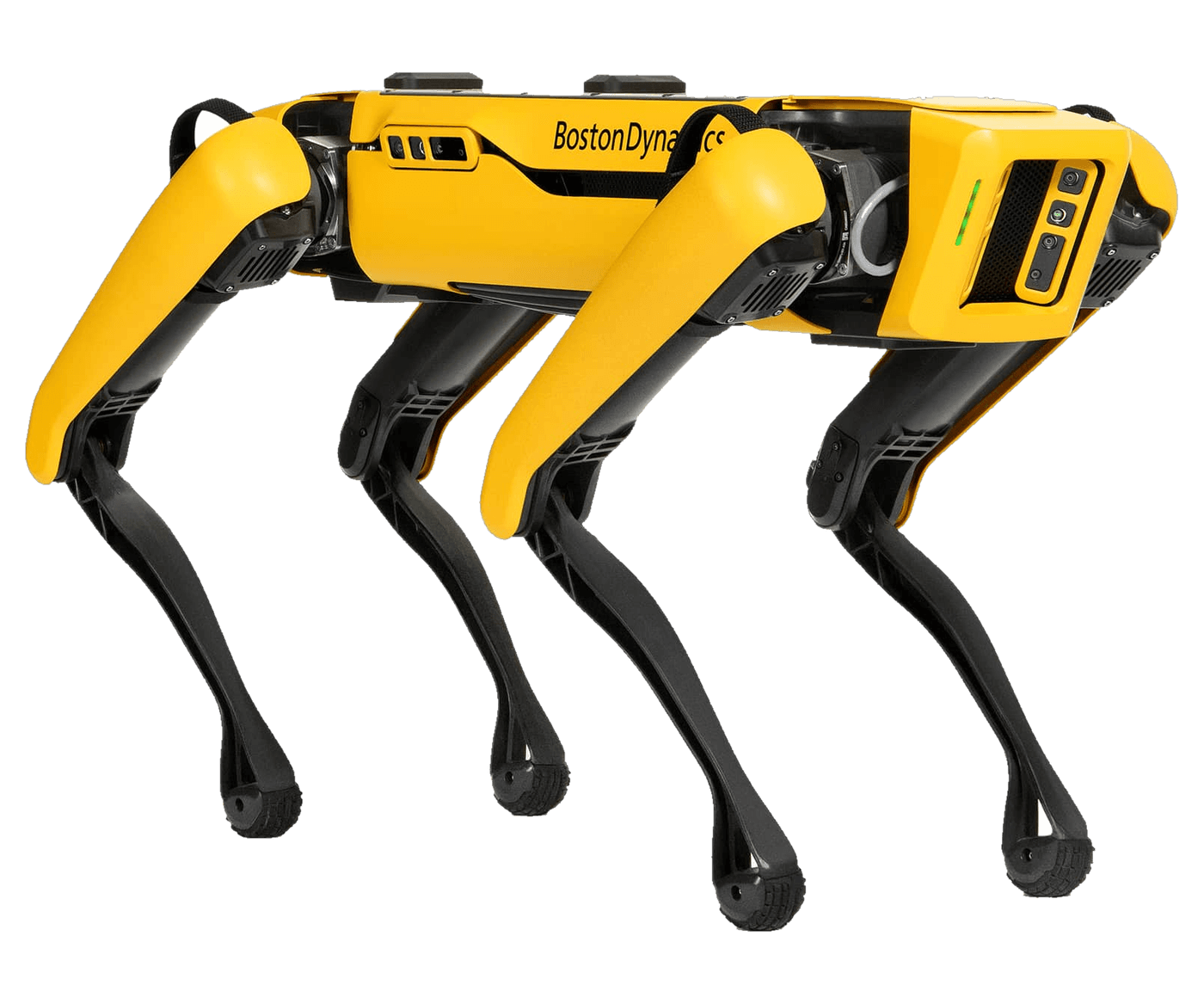
The base unit for construction is Boston Dynamics Spot, with the widest payload ecosystem for 360° cameras and LiDAR scanners. Each deployment is configured with the sensors and cameras the use case needs.
Compare platformsBook a site survey
Tell us about the site. The survey and the sample-unit field test are how we pick the platform. If no platform fits the site, we say so.